![]()
Data and products of the Regional Deterministic Prediction System
The Regional Deterministic Prediction System (RDPS) performs physical calculations to produce deterministic forecasts of elements of the atmosphere from the present day to 84 hours in the future. Elements of the atmosphere include temperature, precipitation, cloud cover, wind speed and direction, and humidity. This product contains the raw numerical results of these calculations. Geographic coverage includes Canada and the United States. The horizontal spatial resolution of the data is 10 km. Data is available for 80 vertical levels. Forecasts are performed four times a day.
Access
How to access the data
This data is available on the MSC Datamart data server service as well as MSC GeoMet:
- GRIB2 data available on the MSC Datamart
- GRIB2 astronomy products available on the MSC testing data repository DD-Alpha
- Data available via geospatial web services GeoMet-Weather
An overview and examples to access and use the Meteorological Service of Canada's open data is available.
Licence
The end-user licence for Environment and Climate Change Canada's data servers specifies the conditions of use of this data.
Metadata
The metadata of the Regional Deterministic Prediction System are available on the Open Government Portal.
Products
List and links to the products available for this dataset :
Forecast maps
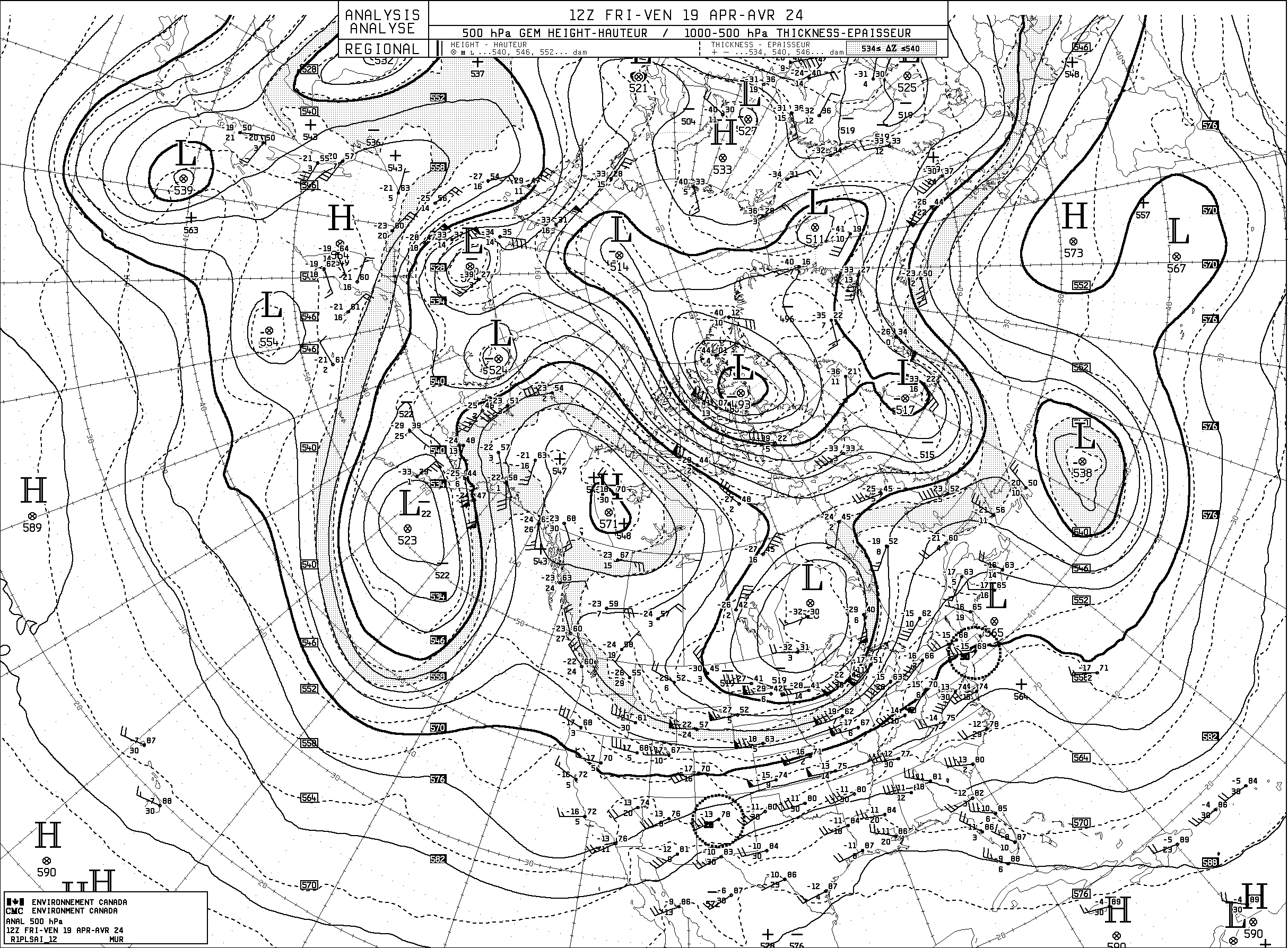
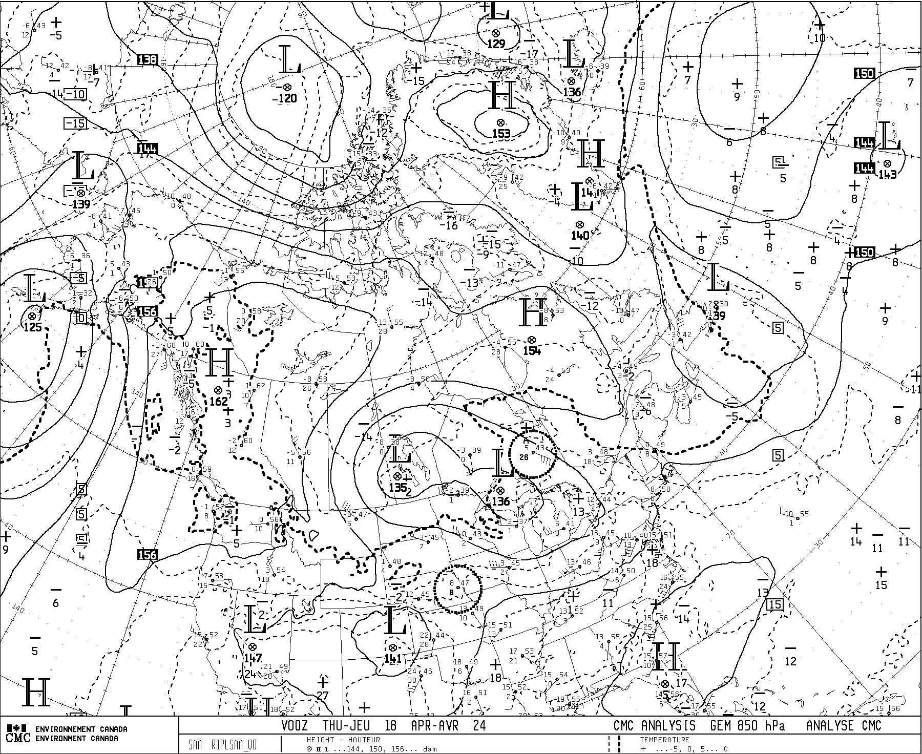
Aerological analysis maps
- 250hPa: Geopotential height, wind speed
- 500 hPa: Geopotential height, thicknesses 1000-500hPa
- 700 hPa: Geopotential height, temperature, dew point deviation
- 850 hPa: Geopotential height, temperature
- Product guide documentation
Aviation products
- Turbulence and icing
- Documentation - 4-panel aviation package
- Documentation - 4-panel ceiling forecasts
Astronomy products
Technical documentation
Changelog
The chronology of changes to the Regional Deterministic Prediction System (RDPS) is available in the changelog.